
TERRENI I KOSOVËS, I HARTUAR PËR OFFROAD.
Overland Kosova është aplikacioni i parë i Kosovës i dedikuar për offroad dhe overland. I ndërtuar për terrenin. I dizajnuar për t’u përdorur jashtë, në mal.
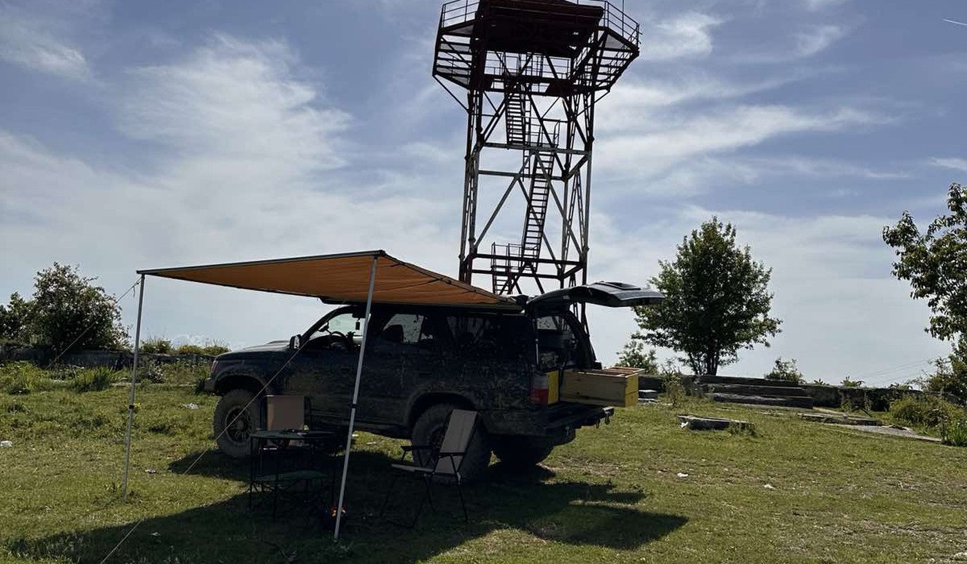
01Terreni
Mbi 1.470 male. Shumica e tyre të pahartuara.
Kosova ka mbi 1.470 male me emër. Bjeshkët e Nemuna në perëndim, ku ndodhet Gryka e Rugovës, ngrihen mbi 2.600 metra, me qafa alpine, liqene akullnajore dhe kullota të larta. Malet e Sharrit në juglindje janë një botë tjetër: pyje të dendura, rrugë në pllaja dhe shtigje që mbyllen me borën e parë.
Peizazhi kalon nga luginat në 250 metra deri te kthesat e ngushta mbi 2.000 metra. Shumica e terrenit më të mirë kërkon automjet të ngritur. Sezoni hapet në qershor dhe mbyllet deri në nëntor. Kosova ka një nga terrenet offroad më të larmishme në Ballkan. Shumica e tij nuk ka shenja, nuk ka sinjal dhe nuk ka mënyrë të lehtë për të thirrur ndihmë.
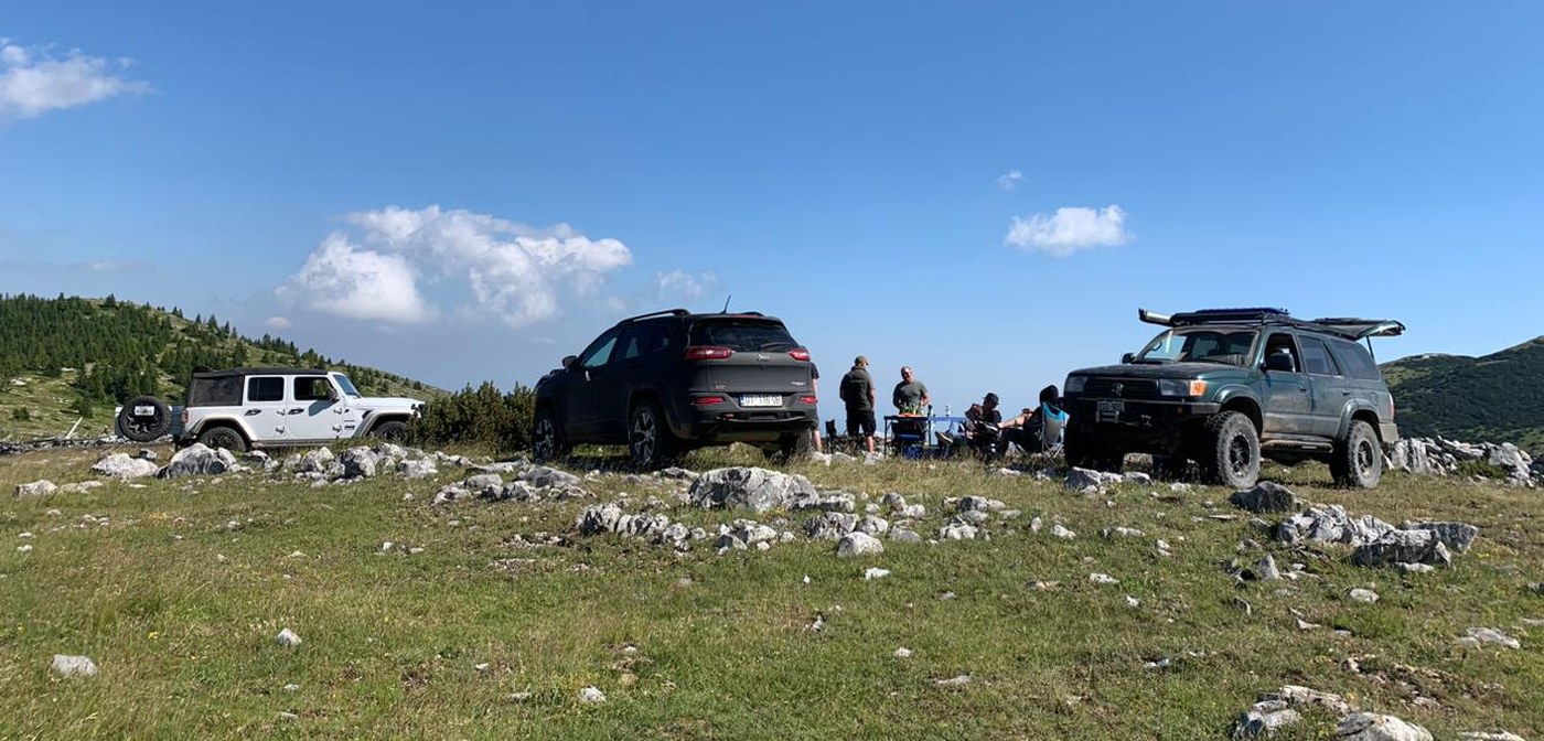
Dije para se të nisesh.
Shtigjet malore të Kosovës kalojnë larg antenave celulare. Sinjali humb shpejt sapo largohesh nga luginat kryesore. Qafat e larta mbyllen herët, shpesh disa javë më herët nga sa pret. Një shteg që kalohet kur është thatë mund të bëhet i pakalueshëm pas dy ditësh shi.
Kosova ka edhe kufij. Disa shtigje kalojnë afër vijave kufitare me Serbinë, Maqedoninë e Veriut dhe Malin e Zi. Në terren të lartë pa shenja, është e lehtë të dalësh jashtë Kosovës pa e kuptuar. Aplikacioni tregon saktë pozicionin tënd GPS dhe gjurmën e shtegut, që ta dish gjithmonë ku je.
Aplikacioni ekziston sepse vozitja pa informacion në atë terren mund të shmanget. Nivelet e vështirësisë, statusi sezonal, pikat e ankorimit dhe raportet për kushtet nga shoferët që sapo kanë qenë aty. Gjithçka që të duhet para se të nisesh.
Ky është standardi për çdo shteg në Overland Kosova.
02Aplikacioni
Çfarë mund të bësh
Çdo veçori është dizajnuar për terren të vërtetë. Pa sinjal? Funksionon. Lidhje e dobët? Funksionon. Kur të duhet, është aty.
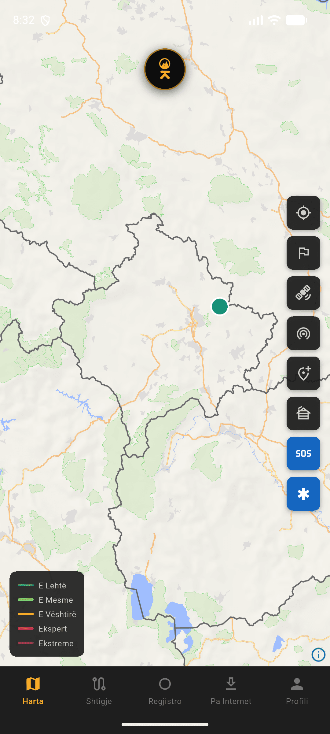
Harta
03Si u dizajnua
Çdo vendim dizajni erdhi nga një pyetje: çfarë i duhet vërtet dikujt në terren? Jo në një sallë mbledhjesh. Atje jashtë, duke lëvizur, duke eksploruar, duke testuar.
GATI PËR TË DALË?
Shkarko aplikacionin. Shtigjet të presin.