
KOSOVO'S TERRAIN, MAPPED FOR OFFROAD.
Overland Kosova is Kosovo's first dedicated offroad and overland trail app. Built for the terrain. Designed for the field.
01The Terrain
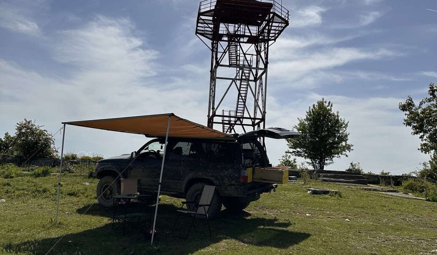
Over 1,470 mountains. Most of them unmapped.
Kosovo has over 1,470 named mountains. The Accursed Mountains in the west, home to the Rugova Valley, reach above 2,600 meters with alpine passes, glacial lakes, and high meadows. The Sharr Mountains in the southeast are a different world. Dense forests, plateau roads, routes that close with the first snow.
The landscape shifts from valleys at 250 meters to tight switchbacks above 2,000. Most of the best terrain is high-clearance only. The seasonal window opens in June and closes by November. Kosovo has some of the most varied offroad terrain in the Balkans. Most of it has no markers, no signal, and no easy way to call for help.
Know before you go.
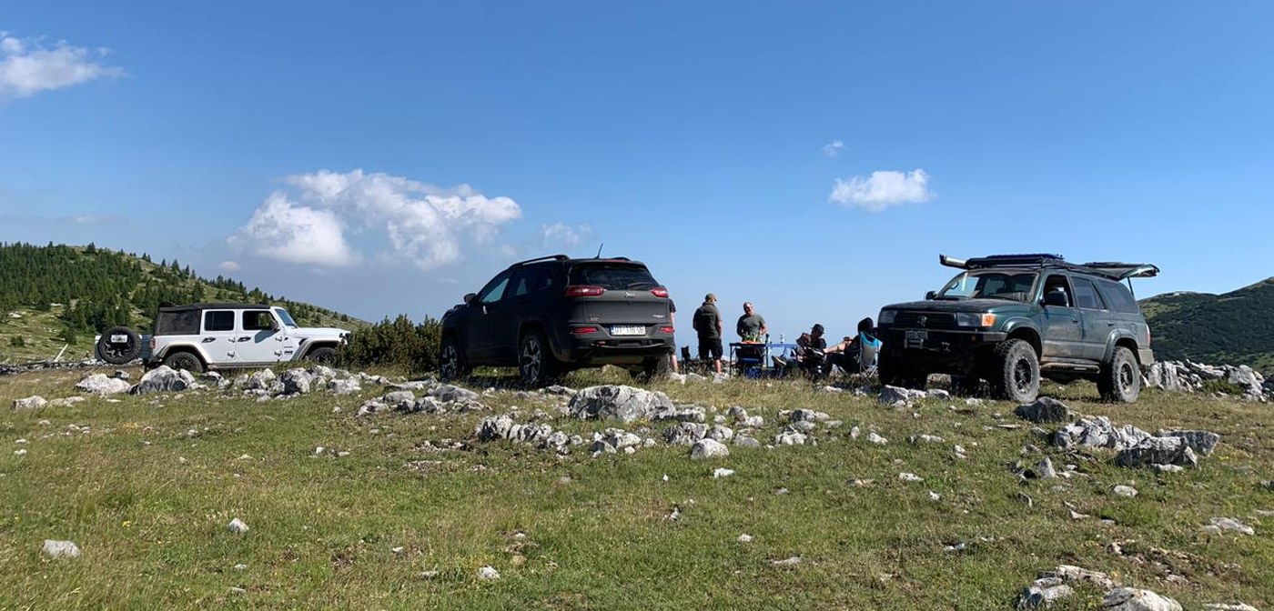
Kosovo's mountain trails run far from cell towers. Signal drops fast once you leave the main valleys. High passes close early, often weeks before you expect. A trail that is passable in dry conditions can become impassable after two days of rain.
Kosovo also has borders. Some trails run close to the boundary lines with Serbia, North Macedonia, and Montenegro. On unmarked high terrain, it is easy to cross outside Kosovo without realizing it. The app shows your GPS position and trail track precisely, so you always know where you are.
The app exists because driving blind into that terrain is avoidable. Difficulty ratings, seasonal status, recovery points, condition reports from drivers who were just there. Everything you need before you start.
That is the standard for every trail in Overland Kosova.
02The App
What you can do
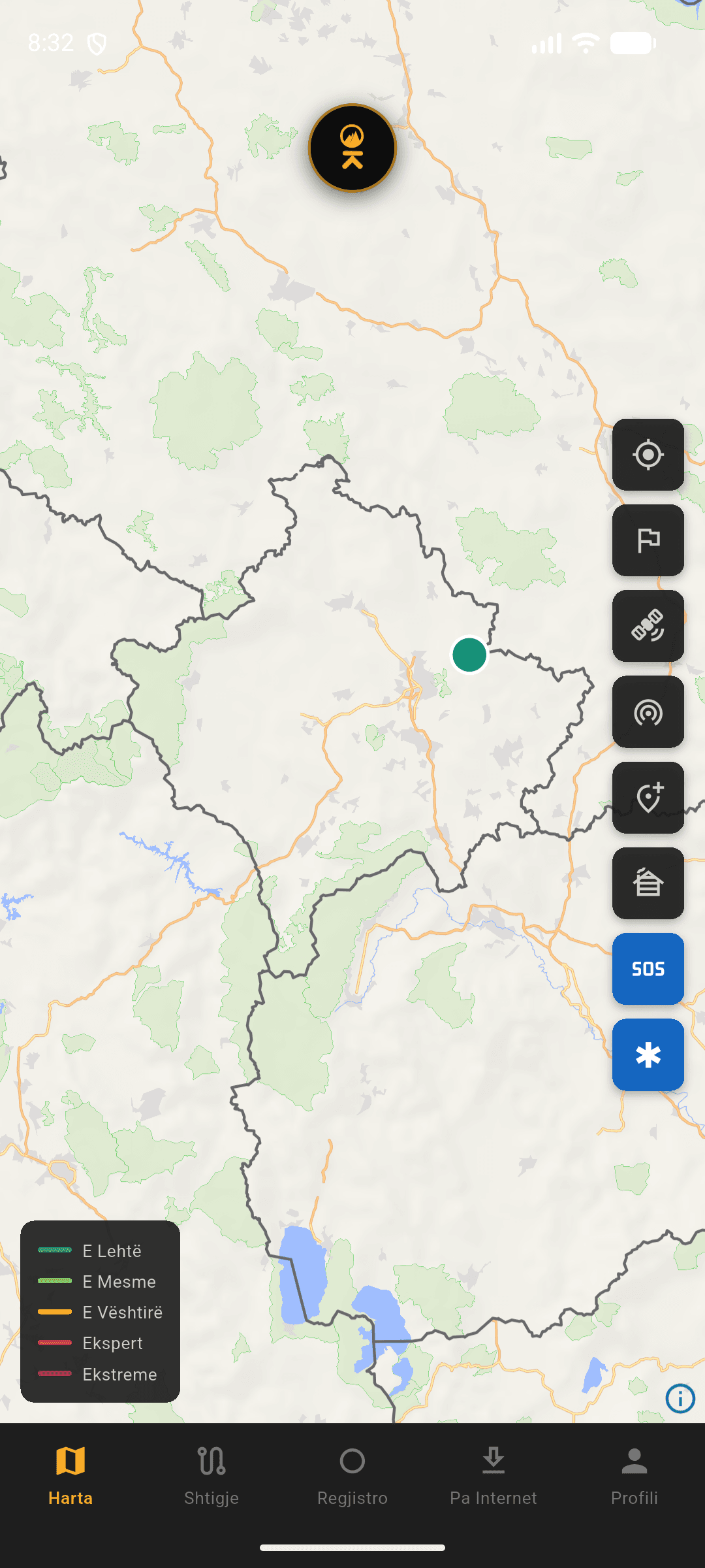
Every feature is designed for real terrain. No signal? Works. Weak connection? Works. When you need it, it is there.
Map
03How it was designed
Every design decision came from one question: what would someone actually need in the field? Not in a meeting room. Out there, going, exploring, testing.
READY TO HEAD OUT?
Download the app. The trails are waiting.